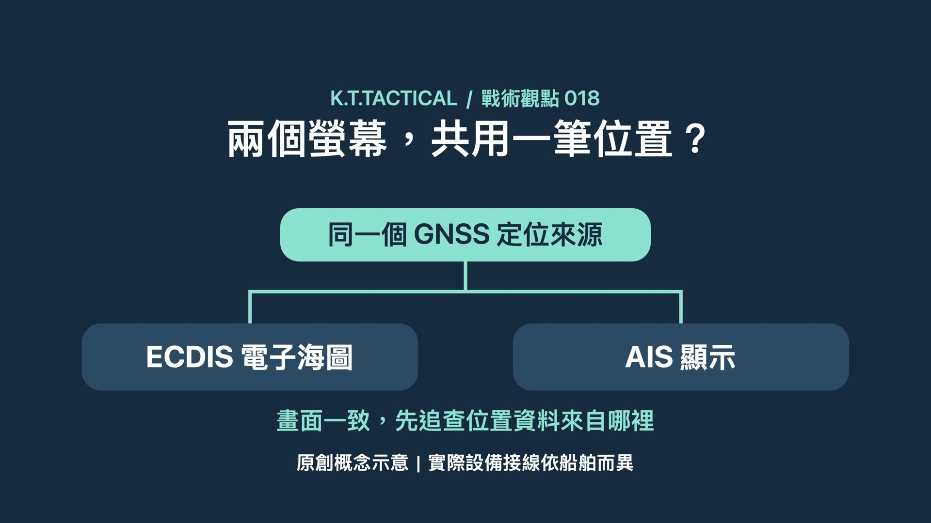
One GNSS position source feeds ECDIS and AIS displays
Original schematic. Actual system connections vary by vessel.

閱讀中文版

One input, two displays

Consider a hypothetical bridge: the electronic chart and AIS display agree on the vessel's position. Before treating that agreement as confirmation, ask where each display gets its position data. If both depend on the same GNSS input, they may be repeating the same error.

In MGN 719, published on 1 October 2026, the UK Maritime and Coastguard Agency explains that GNSS interference can affect equipment using its data, including ECDIS, AIS and radar with GNSS inputs. Actual connections differ between vessels; the relevant question is how the installed equipment obtains and shares its data.

Coordinates alone cannot verify a position

Jamming can disrupt reception. Spoofing can introduce false positioning information. A screen showing coordinates therefore does not, by itself, establish that the position is trustworthy.

Trace the backup to its source

KTT's interpretation is straightforward: assess the independence of the information, rather than counting displays. Another display and another independent observation serve different purposes. MCA guidance supports independent cross-checks and alternative navigation skills, with actions appropriate to the vessel, equipment, operating area and established procedures.

What does the receiver authenticate?

Receiver capabilities matter too. Galileo OSNMA allows compatible receivers to authenticate navigation messages. EUSPA describes the protocol and processing requirements that receivers must implement. Our inference: a claim of Galileo support alone does not establish OSNMA implementation. Message authentication should also not be presented as immunity to every form of interference.

When assessing a navigation backup, trace its position inputs first. Two illuminated displays and two independent sources of evidence are separate things to verify.

MCA MGN 719 · EUSPA Galileo OSNMA