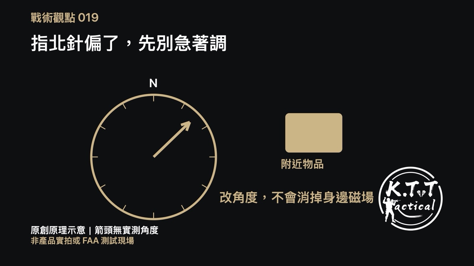
Original concept diagram, not a product photograph or the FAA testing site.
Imagine spreading a map on a steel table before a trip. The compass reading changes as you move it across the surface. Do not immediately adjust declination to make it agree: declination accounts for the angle between true and magnetic north. A nearby magnetic influence is a separate problem. Entering the right angle does not remove that influence.
This week: an Anchorage GPS testing notice
The FAA published Anchorage-area notice NOTC5336 on November 6, 2026, warning of scheduled GPS interference testing. General Aviation News reported the advisory on November 5 and listed November 6–16 as the testing period. These are notices of planned activity and potential effects, not measurements proving a loss of service at every location throughout those days. The news report also draws on FAA information; it is not an independent interference measurement.
This is Alaskan aviation news, not a Taiwan trail advisory. It does not turn aviation contingency procedures into advice for walkers. KTT uses it to ask a narrower equipment question: when choosing a magnetic compass as a non-satellite reference, have we checked its surroundings too?
The principle: two different influences
NOAA NCEI defines declination as the angle between magnetic and true north and explains that the field measured at the surface combines several sources. A magnetic needle responds to the field where it sits; it cannot distinguish the Earth’s contribution from a nearby influence.
Suunto identifies magnetic minerals, power lines, structures and carried magnetic items as possible influences on compass readings. Even nails in a working surface can affect a reading. Our steel-table scene is a hypothetical illustration. We have not measured an error angle or established a universal separation distance.
KTT analysis: check the setting and the surroundings separately
Changing declination changes how a direction is related to a north reference. It does not establish that a local influence has disappeared. A correction based on a disturbed reading may become inappropriate after moving away from the object. This is an explanation of the principle, not a diagnosis of a particular compass.
For ordinary practice, move away from suspected metal or magnetic items, hold the instrument as its manufacturer specifies, then check the map’s north reference and the applicable local declination. If the result remains unreasonable, stop using it as the sole reference and return to the full manual and your navigation plan. A steady reading alone does not demonstrate a correct bearing.
Digital calibration is another separate requirement
The Suunto Essential manual separately requires calibration, correct declination, level positioning and distance from metal or magnetic fields. Its calibration procedure is model-specific, not a procedure for every mechanical compass. Maps also differ: some orienteering maps use magnetic north. Read the map’s instructions before applying a correction twice.
Limits and a question
This article supplies neither flight procedures nor a current Taiwan declination value or fixed separation distance. The original diagrams are conceptual; their arrow angles are not measured, and the table scene is not the FAA testing site. Before spreading out your next map, which would you check first: the surface, nearby belongings or the map’s north reference?