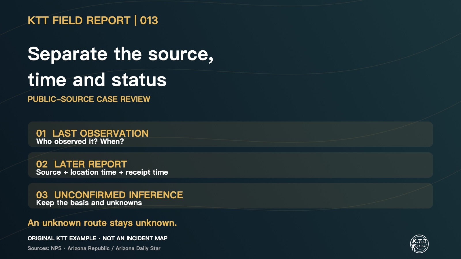
A map pin arrives with the message “last seen here.” Was it an eyewitness observation, a report from the person, or an assumption based on the planned route? Following our report on trip-plan versions, this issue separates the source and time attached to a location.
Original KTT location-information example, not records or a route from this incident.
Case background: two locations, two records
This review returns to a July 2026 incident on the Grand Canyon’s North Rim. NPS received a separation report at about 5 p.m. on July 21. A helicopter search located the missing hiker at about 6:30 p.m. the following day, approximately 2.5 miles from the last-seen point. [1][2] These are local incident times, not Taiwan time.
Jose R. Gonzalez’s Arizona Republic report, published by the Arizona Daily Star, also describes the discovery and rescue the following evening. [3] It is separate editorial reporting that cites NPS, rather than a second set of field measurements.
Check what a distance is measured from
The NPS release measures the approximate distance from the last-seen point. The news report describes the reference point more broadly; this article uses the official definition. The figure does not establish the path walked, travel speed or a search radius.
KTT Tactical Observation: label the information before mapping it
The following is a KTT everyday recordkeeping example, not a reconstruction of the participants’ messages or an official search procedure. Before passing on a location, identify who supplied it, what it represents and when it applied.
1. Distinguish observation, personal report and relay
A companion’s last sighting and a later message from the person are different sources. A forwarded screenshot should retain its relay source and whether the original message can be checked. A precise-looking pin does not establish that the location has been verified.
2. Separate location time from receipt time
Receiving a message at 5 p.m. does not establish that the person was still there at 5 p.m. Mark an unknown location time as unconfirmed, and record receipt separately. Screenshot, transmission and positioning times may differ. Retain time zones when crossing regions.
3. Keep planned and inferred routes separate
An itinerary describes intention; a last sighting records a past observation. Without a documented track between points, the intervening route remains unknown. Keep an inference labelled as unconfirmed with its basis, rather than drawing it as an actual travelled route.
4. Add updates without erasing the original
For a new report, retain the source, location time, receipt time and confirmation status. Preserve the original message and the basis for corrections. A receiving contact can then distinguish a past sighting, a newer report and an unresolved inference. Public examples should omit private coordinates and contact details.
Limits of a public-source review
The releases do not provide a full track or communication timeline. KTT did not attend the incident and makes no finding about its cause, equipment or operational decisions. The example does not replace responding agencies’ instructions or establish a reduction in rescue time. In an emergency, use the appropriate local official channel without waiting to complete a record.
This week’s discussion
With an unexplained map pin, would you first ask who supplied it or when the location applied?
Next Field Report: how to preserve the basis for corrections and unresolved items when old and new location reports conflict.