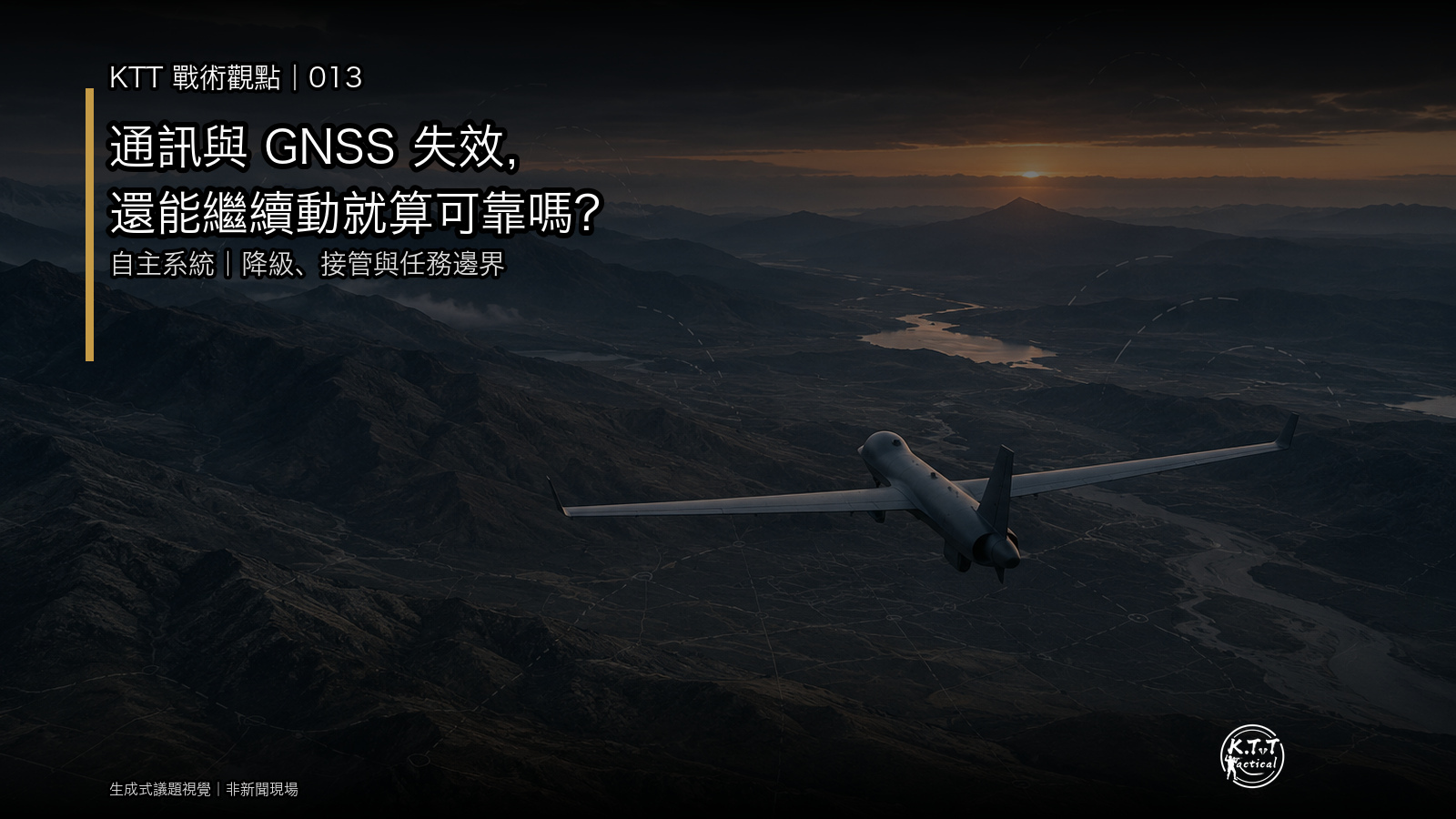
If communications fail or GNSS becomes unavailable or deceptive, is an autonomous system reliable simply because it keeps moving?
The UK Ministry of Defence's Avengers Labs announcement of 25 September 2026 specifically called for multiple autonomous systems to coordinate under constrained communications, decentralised control, and unavailable satellite navigation. The harder question is not only how to replace a navigation source. It is whether the system can recognise its degraded state, show which information remains trustworthy, and reduce, pause, or hand over the mission at the right time.
K.T.Tactical topic visual | Not a photograph of a specific test or battlefield event
Confirmed facts: autonomy under constraints does not mean removing people
The UK MOD grouped the competition around autonomous target recognition, distributed decision-making, adaptive mission execution, and collaborative sensing and information fusion. Adaptive mission execution explicitly includes coordination under constrained communications and decentralised control. The same announcement states that appropriate human involvement remains part of the concept.
NATO DIANA's 2027 challenge on multi-domain autonomy describes a broader set of conditions: degraded GNSS, uncertain terrain, dynamic obstacles, deception, jamming, and intermittent connectivity. It calls not only for autonomous navigation, but also task coordination, deconfliction, a distributed common operational picture, and situational awareness under disruption.
A 2026 U.S. Army xTech evaluation provides another useful set of verifiable criteria. Candidate systems are expected to operate in denied, degraded, intermittent, and limited GPS and communications environments while demonstrating assured control, predictable safety behaviour, failsafes, emergency-stop behaviour, and operator notification when software or sensors are degraded.
Context: missing signals and believable false signals are different problems
“No GNSS” is often understood as receiving no positioning signal. Contested environments can also produce information that appears normal but is wrong. DARPA's ROCkN programme notes that positioning, navigation, and timing can be affected by jamming, spoofing, and other disruptions. A complete loss may be easier to identify than a plausible but incorrect input that accumulates error without an obvious alarm.
Communications failures also differ. A total disconnect, growing latency, intermittent packet loss, and an out-of-date common picture should not be treated as one condition. Testing only whether a link remains available can miss the states that matter most to a real mission.
KTT Tactical Perspective
1. The system may not know that its position is no longer trustworthy
Evaluation should ask more than whether navigation continues without GNSS. It should measure how quickly abnormal inputs are detected, how uncertainty is shown to the operator, and what happens when alternative sources disagree. Sudden loss, gradual drift, and deceptive input should not automatically produce the same response.
2. The common picture can become stale while the interface still looks complete
Multi-platform coordination depends on shared positions, tasks, and sensor results. When connectivity becomes intermittent, icons may remain visible even though their timestamps no longer match. A resilient interface should expose data age, failed updates, and source confidence rather than presenting the last received state as current.
3. Platforms can remain active while deconfliction fails
Decentralised control can prevent one failed node from stopping an entire group, but continued movement does not prove safe coordination. If tasking, route changes, or obstacle information cannot be synchronised, systems may duplicate work, compete for the same space, or act on incorrect assumptions about one another. NATO DIANA's emphasis on tasking, deconfliction, and a common picture shows why single-platform performance is not enough.
4. Human takeover may exist without enough time to understand
“Appropriate human involvement” has to become measurable: when does the alert appear, does it explain the cause, how much decision time remains, can the operator redirect or stop the mission, and what happens after an emergency stop? A takeover button alone does not prove that a person can understand and intervene at the critical moment.
5. Graceful degradation is a set of mission boundaries
A resilient design does not promise that every function will always remain available. It defines which lower-risk tasks can continue after specific losses, when the operating envelope must shrink, and which conditions require a stop. For procurement and acceptance, “what can still be done after losing what” is more testable than a broad claim of operating without GPS.
Implications and limits
The public documents show that the UK, NATO, and the U.S. Army all treat constrained communications, degraded GNSS, safe behaviour, and operator notification as important requirements or evaluation conditions. They are not one common test programme, however, and they do not disclose Avengers Labs model results, thresholds, mission authorities, or platform-specific performance.
This article therefore does not claim that any system can autonomously complete every mission under jamming, spoofing, or disconnection. It also does not provide methods for interference, deception, or bypassing protective measures. Different platforms, missions, terrain, speeds, and safety consequences require different degradation and takeover boundaries.
Discussion
If an autonomous system could strengthen only one degraded-mode capability first, which would you choose?
A | Detect that GNSS or sensor information is no longer trustworthy
B | Show data age and common-picture divergence during communications delay
C | Give operators enough time to understand, take over, and stop
Next episode: what evidence shows that a system “knows what it does not know”—from uncertainty displays and degraded-state alerts to measurable operator takeover time?
The cover and in-article graphic are labelled as a K.T.Tactical topic visual. It is not presented as a photograph of a particular test or battlefield event, and its use does not imply endorsement by any source organisation. Sources checked on 1 October 2026.